By K5KAC
A first-hand account of tornadic storms in Northwest Arkansas on Wednesday, March 25, 2015
In the Ozark Highlands, any freak weather event is met with awe and a healthy amount of respect, but more importantly it’s a great source of entertainment. I was in my socks, cleaning the QTH, and listening to the scanner traffic on my trusty Bearcat 145XL. I knew that there was a threat of severe weather in my area, and I was giddy at the idea of finally getting a change in the weather. It’s been a long winter, folks.
Around 4:30 p.m., I heard the local weather nets to my west start lighting up. It sounded like a large thunderstorm was brewing in the Springdale-Rogers area. I listened to the reports of the storm moving east, heading for the northern portion of Madison County.
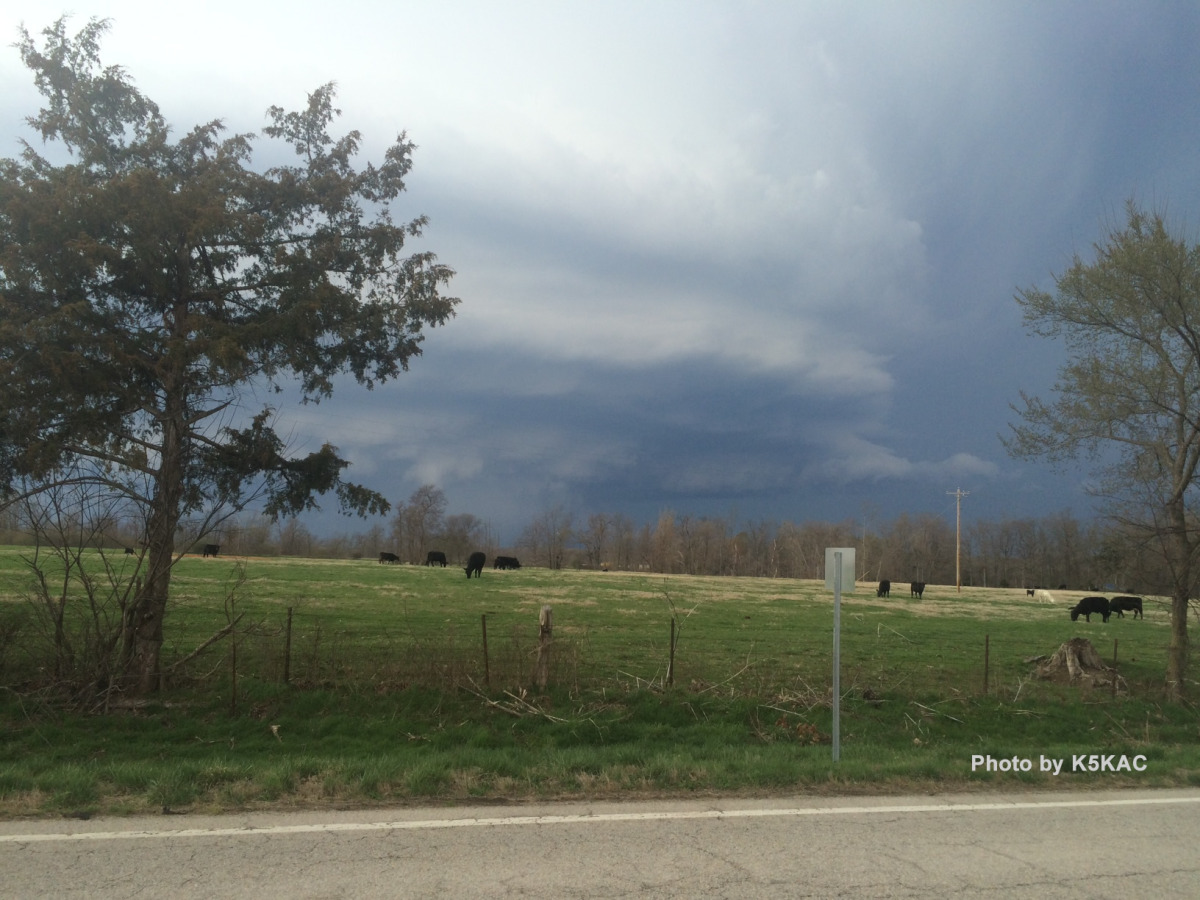
I headed to a peak (1800 ft) behind my house where I could get a good look to the north. I could see the large dark mass, but there was no real definition to it yet. I checked the radar and noticed a little hook forming at the bottom of the thunderstorm. I heard hams reporting that it had crossed Beaver Lake and was continuing to track northeast and gather intensity. My stomach started to feel a little light.
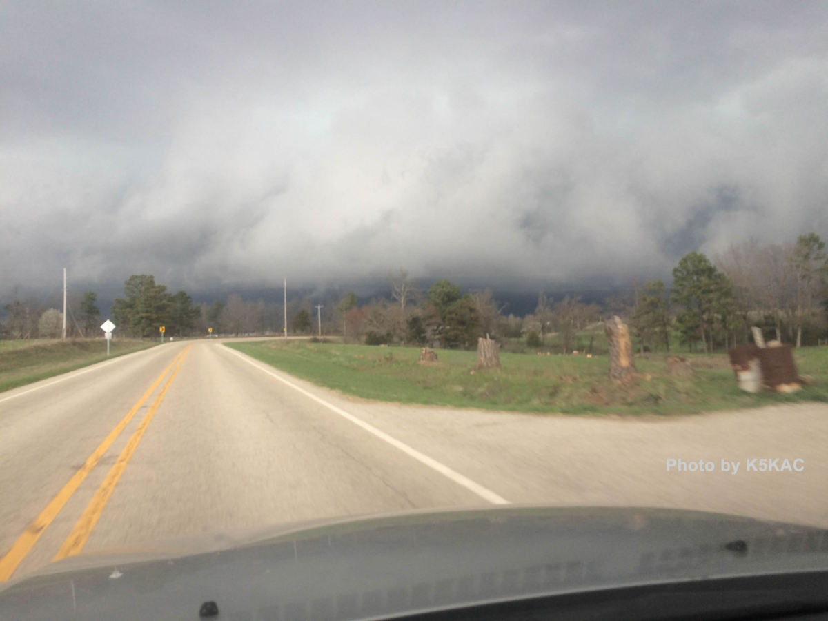
I steered down the hill and set my sights for the open area of elevation about 5 miles south of the storm’s path in Forum, Arkansas. I parked in a driveway on Highway 23 that had direct north-south access. Hopping out of my car, in socks, the first thing I noticed was the warm air sucking around me and toward the storm. The thermostat was hovering at 73 F at this point.
I set up my vehicle and started communicating with my other Noise Blankers, and most importantly, our chief meteorologist K5KVN, so I could send and receive live updates. I regret to add that I did not check in to the poorly assembled net I heard on one of my local repeaters. However, I did monitor a few nets.
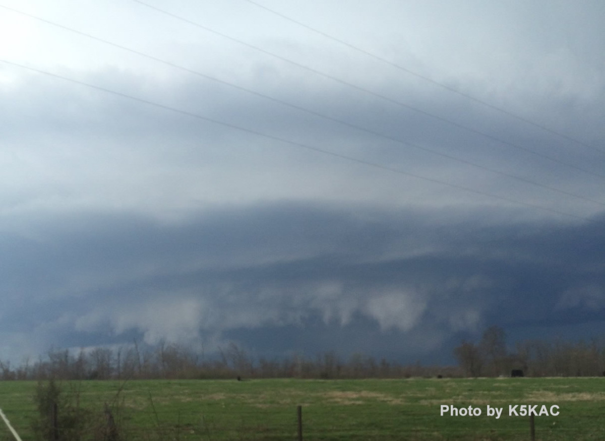
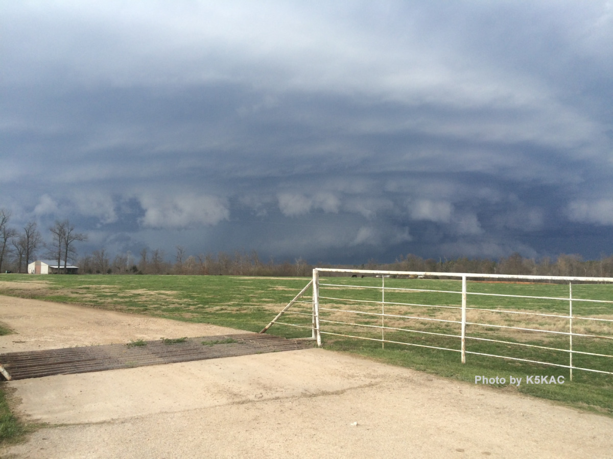
 I snagged a picture at 5:34 (shown to the right), which I knew was a textbook wall cloud formation. The storm was already tornado warned, and the National Weather Service in Tulsa was doing an excellent job of disseminating information. Our local TV meteorologists also did a fine job of taking reports from social media and spreading the information. I could virtually watch the storm as it morphed into a EF1 tornado.
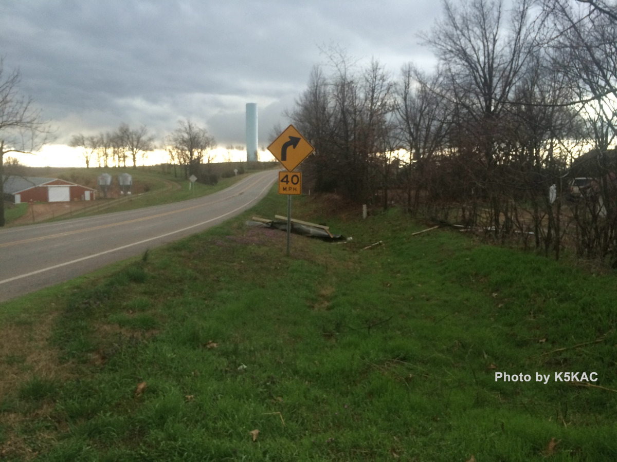
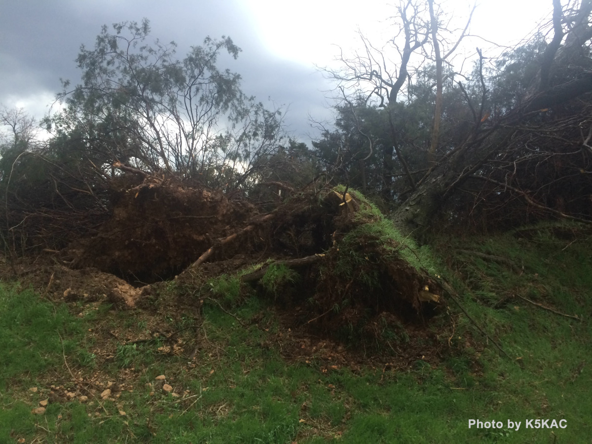
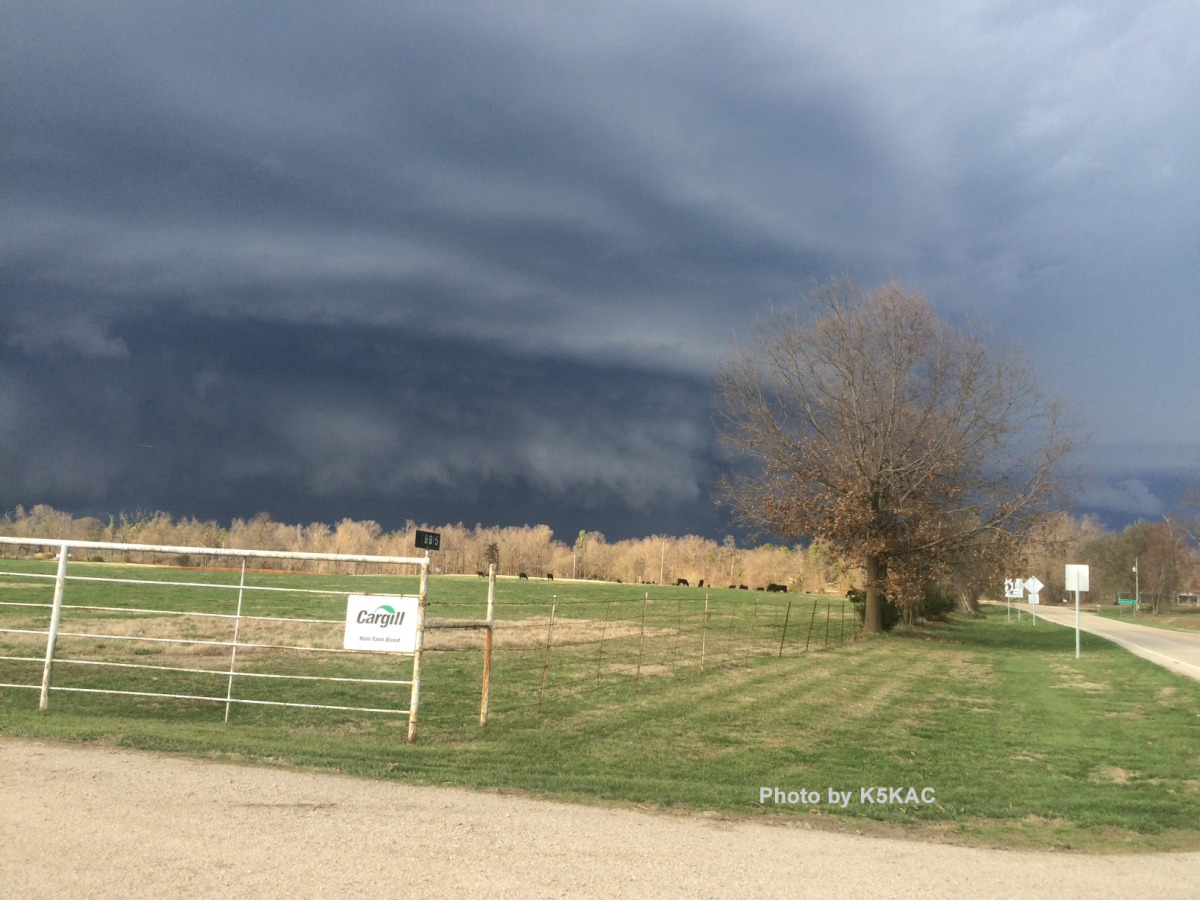
As the storm passed to my north, I felt the temperature drop by 15-20 degrees. I checked the radar and saw that the strongest point of the storm had passed Highway 23, and it was safe to venture a little further north. I stopped one mile south of the Highway 12/23 junction and met up with a first responder who was heading south. He reported that there was no serious damage to Clifty, so we ventured back north to offer help (we are both first responder trained) and to survey damage.
Luckily, there were no injuries. For about a half mile area north of the Highway 12/23 junction, I saw trees uprooted, a small shed blown about 20 feet, a service line to a house fallen, and shingles blown from the roof of a house. I could see the green-hued storm off to my northeast, now making its way into Carroll County. Nursing a nasty headache from the sudden pressure change, I took off my soaking socks and headed home.
Editor’s note: Here’s a great scientific explanation of the storms that hit Arkansas and Oklahoma that day.
Prelim damage survey NW of Clifty indicates an EF1 tornado with a path length of approximately 4 miles. Additional info will be provided.
— NWS Tulsa (@NWStulsa) March 27, 2015